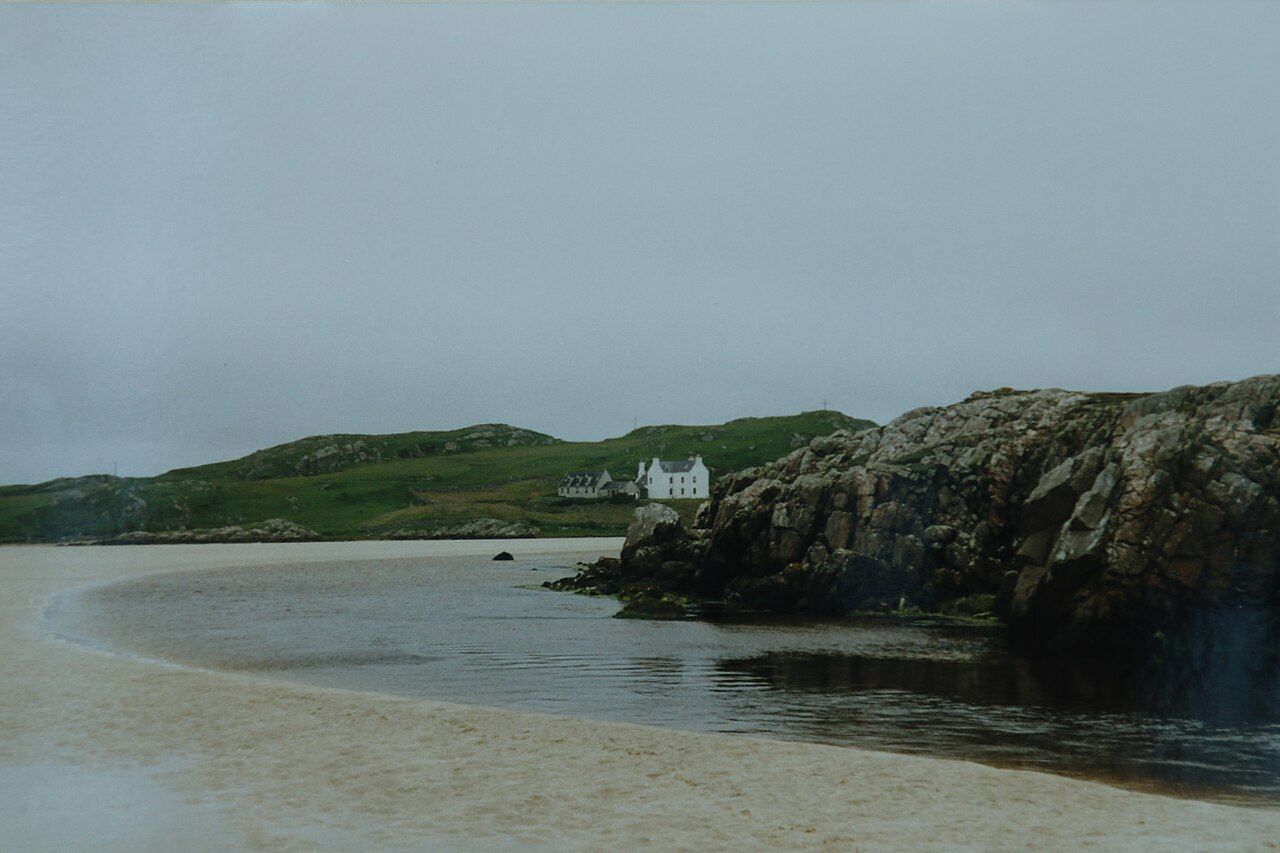
Uig Bay — photo: Malcolm Neal
The closer thought is less tidy, and more useful. Uig is a village around a bay on the west side of Trotternish, with the River Conon and the River Rha falling into the same water. Ferries sail from here to Tarbert on Harris and Lochmaddy on North Uist; the bay is both a place in itself and a point of passage.
| Place | Uig, on the west side of Trotternish |
|---|---|
| Ferries | Tarbert on Harris; Lochmaddy on North Uist |
| Nearby stop | Fairy Glen, a small valley of grassy cones |
Its shape is already clear enough: houses gathered around a bay, a hill above it, and the water opening west. I like places that can be understood by looking at how their parts meet. Here, the bay is not a backdrop set apart from the village; it is the centre of the description, with the settlement arranged around it.
The ferries give that centre another purpose. From Uig they sail to Tarbert on Harris and Lochmaddy on North Uist, carrying the imagination as readily as the mind can follow a line on a map. Those names make the bay feel connected beyond its own shores, though the village does not disappear into the idea of a crossing. It remains Uig: a place around the water, with its own hill and rivers before the routes begin.
I like keeping the destinations in mind without treating them as a reason to hurry through. Tarbert on Harris and Lochmaddy on North Uist are specific names, not simply a vague westward elsewhere, and the ferry routes make them part of the way Uig is understood. Still, the village is not only a departure point. The map may encourage a line from bay to destination, but the ground here has its own detail, and deserves more than a quick glance between one line and the next.
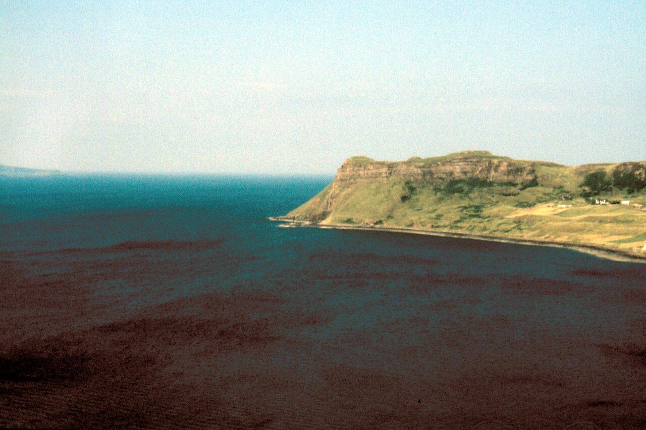
A small round tower stands on the hill above the bay. That is a spare fact, but it is enough to shift the shape of the view in the mind: the low sweep of water below, the hill rising above, and the tower standing on it. I would rather leave the tower at that than give it a story the place has not offered us. Its position is the point, and it makes the bay feel held between water and height.
Then there are the rivers. The River Conon and the River Rha fall into the bay, bringing two separate names to the edge of the same water. I find that detail quietly satisfying; it gives the bay more than a single outline, without asking for grand claims about it. The river names are worth keeping on the tongue, especially when the place is otherwise easy to reduce to one word on a map: Uig.
Fairy Glen, a small valley of grassy cones near Uig, is a popular stop. The description does not need much dressing. A valley, grass, cones: the words offer a different scale from the bay and its ferry routes, something small enough to look at closely rather than cross in the mind as a broad stretch of coast. I like that contrast. Around Uig, the point of interest need not always be a horizon or a destination across the water.
There is more to Trotternish than this bay. Black houses at Kilmuir gives the peninsula another point of attention, while Uig keeps its own clear character: a village round water, with rivers entering and ferries sailing out.
The Old Man of Storr is worth a look as well.
For me, Uig stays in mind as a place with more than one direction. There is the view down to the bay, the hill above it, the rivers reaching the water, and the routes west towards Harris and North Uist. None cancels the others. I can imagine the map lying open at Uig, its worn fold softening the line around the bay, while the names of the ferries remain just beyond it. That is a good way for the village to hold together: not as a pause before somewhere else, but as its own place at the water's edge.