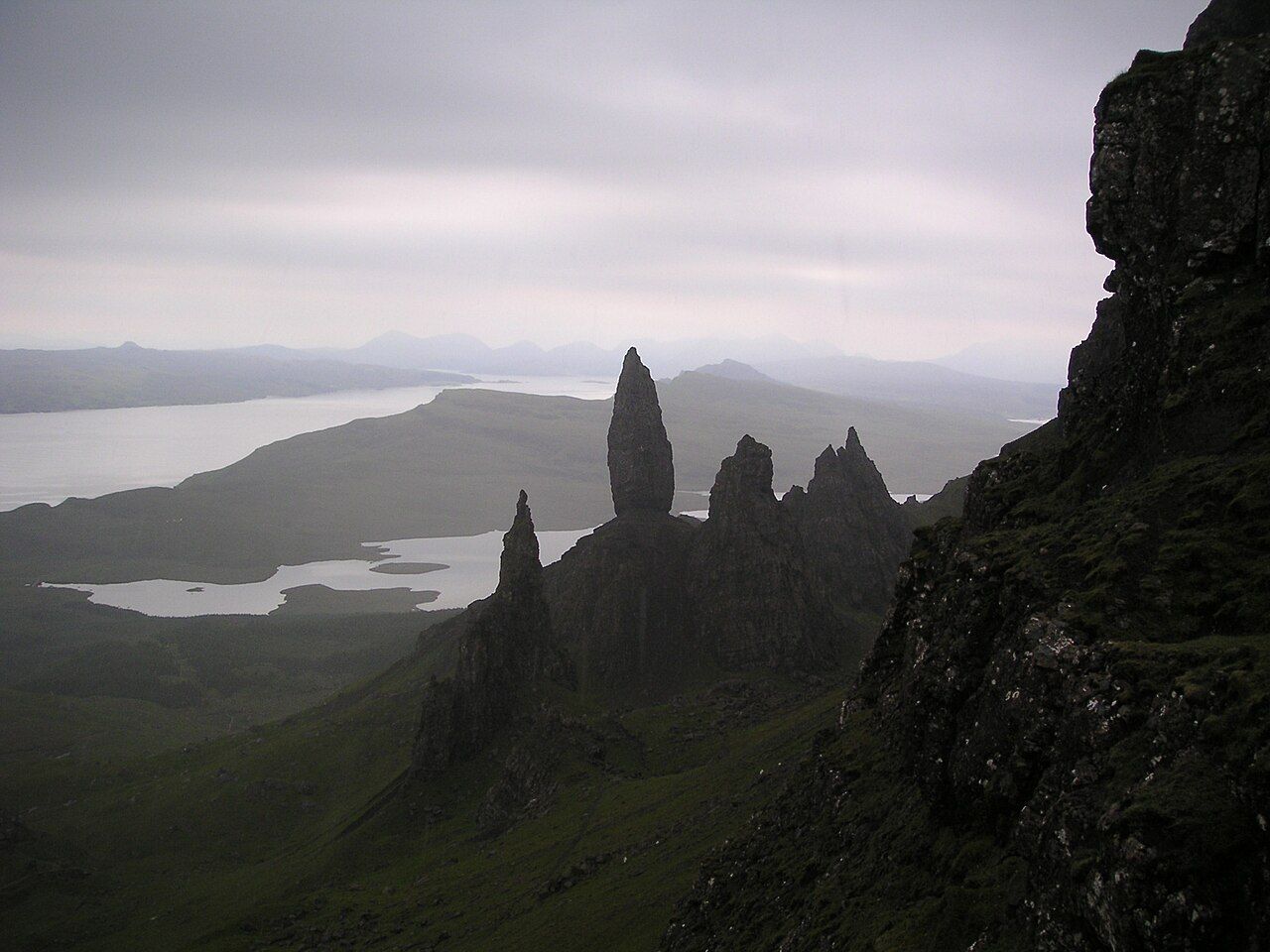
The Storr pinnacles in grey light — photo: No machine-readable author provided. Cactus.man assumed (based on copy
I keep a dog-eared paper map for places that resist being reduced to a mark, and the Old Man of Storr is one of them: a rock pinnacle about 50 metres high.
| Path | From a car park on the A855 north of Portree |
|---|---|
| There and back | About 3.8 kilometres |
The pinnacle stands below the cliffs of the Storr, the highest point of the Trotternish ridge at 719 metres. The scale is plain on paper; on the ground, the spire makes the ridge feel close and immediate.
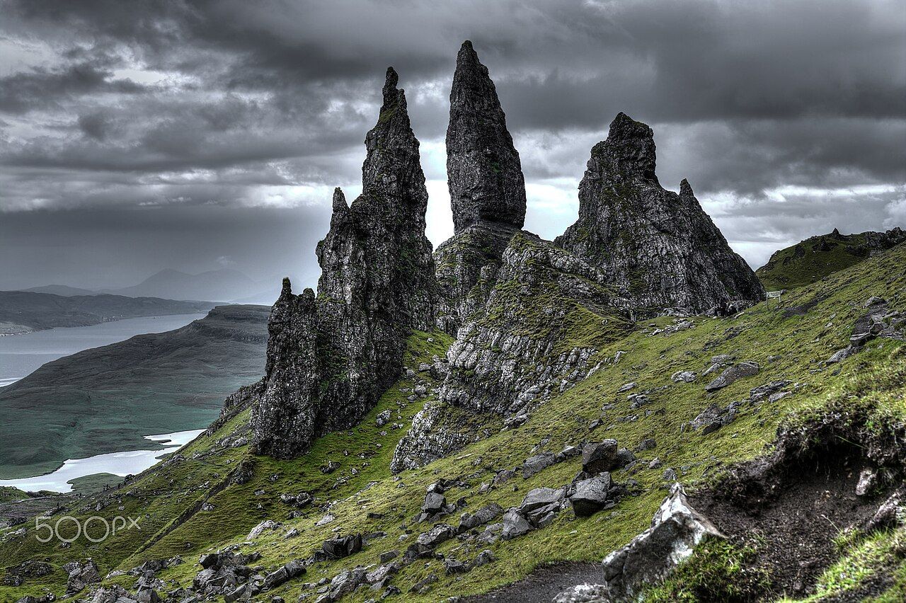
The pinnacles were left by a huge landslip of basalt lava over softer rocks. That is the shape of this place: stone displaced, then left standing in forms that seem almost deliberate, though the land did the work.
The path climbs from the car park, and the Old Man is a familiar destination for visitors to Skye. I understand the pull; the route ends among the pinnacles, with the cliffs above and the island opening into a larger map in my head.
The hollow among the pinnacles below the cliffs is the Sanctuary. On my dog-eared paper map, Staffin and the township and the Black Cuillin ridge sit among the names I return to, but here the eye keeps coming back to the upright rock and the hollow around it.
Rubha Hunish, at Skye’s Northern Edge is worth a look as well.