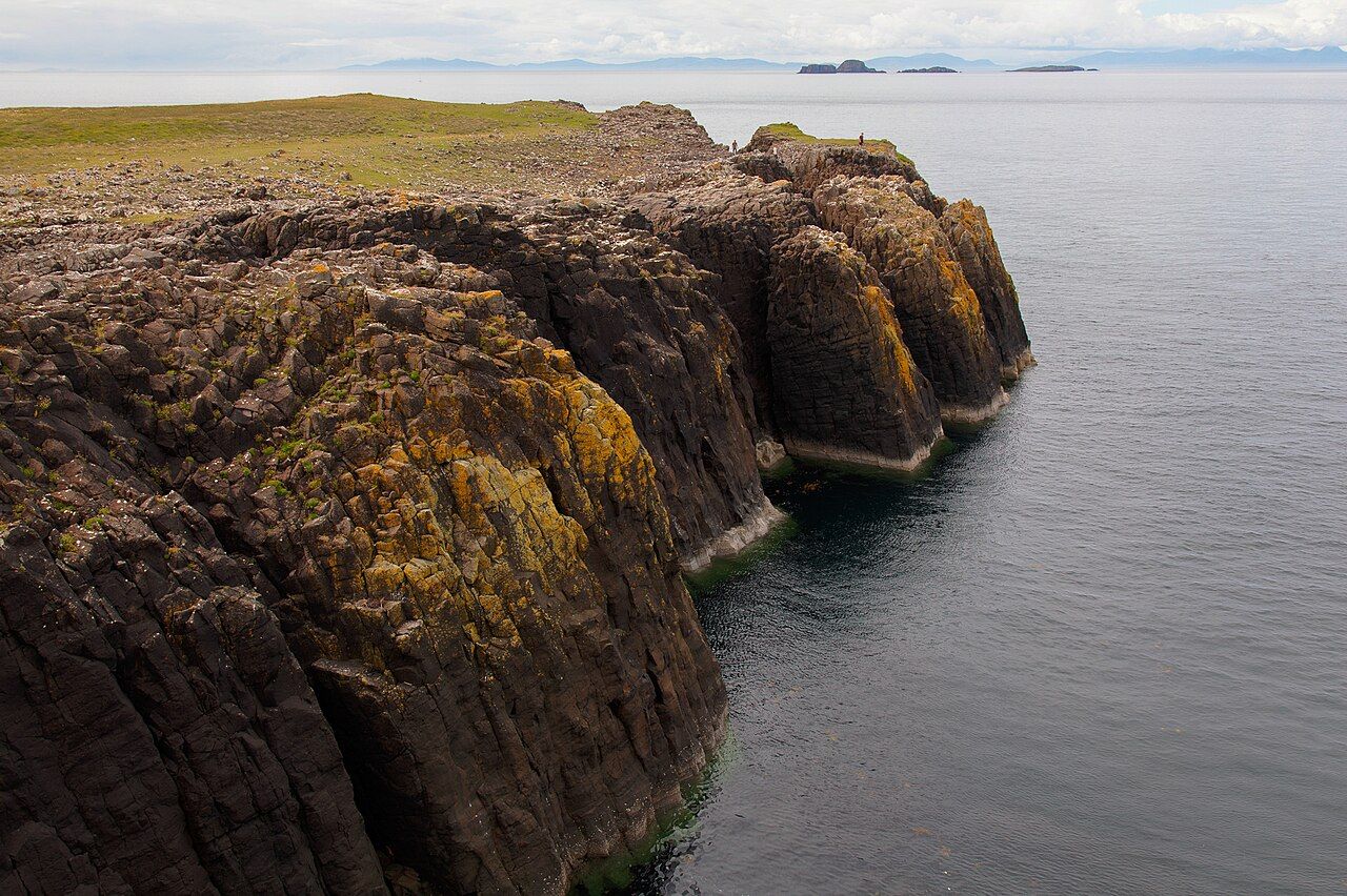
Sea cliffs at Rubha Hunish — photo: Doug Lee
The path from the road near Duntulm crosses moorland to the cliff top, where Rubha Hunish reaches Skye’s northernmost point.
| Place | Trotternish |
|---|---|
| Route | Road near Duntulm, across moorland to the cliff top |
Duntulm Castle, at the Northern Tip of Skye is worth a look as well.
An old coastguard lookout stands on the cliff, now a bothy with windows facing the sea. I value the plainness of that arrangement: the building sits at the edge, and its windows do what the place itself does, opening towards the water.
Whales, dolphins and basking sharks are sometimes seen from the point. Sometimes is the right scale of promise here; the Outer Hebrides lie across the Minch, but a view of the water is the sure thing, not a sighting.
A steep path leads down to the grassy headland below the cliffs. From the top, the descent gives the point another shape, not just a northern mark on the map but land dropping towards the sea. The grass below and the windows above face the same open water. The map holds those pieces close; on the ground, the steep path gives the descent its own weight.