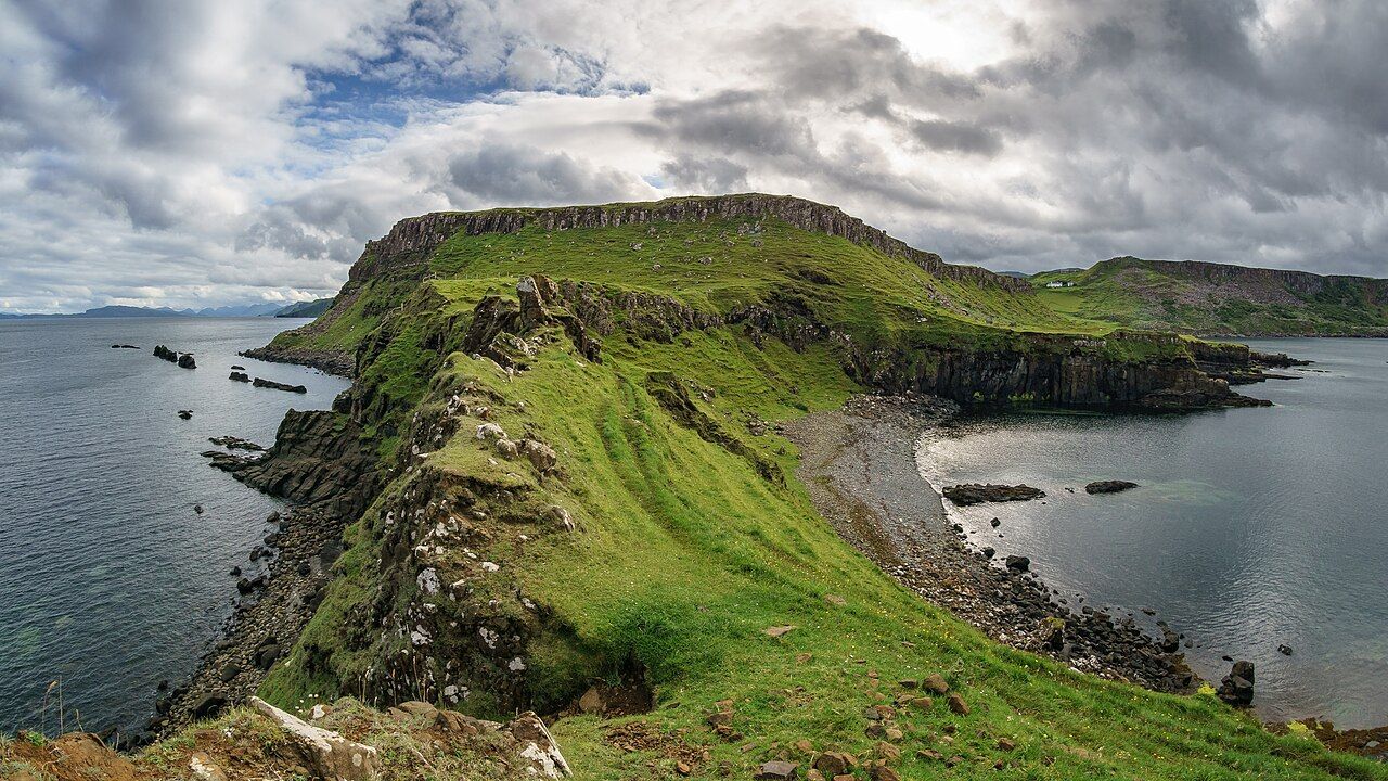
From Brothers' Point — photo: Colin
A dog-eared paper map makes room for names such as Rubha Hunish, but Brothers’ Point is a name that earns its own walk. The route is brief; the headland’s shape is what stays with me.
| Place | Trotternish |
|---|---|
| Near | Culnacnoc, on the east coast |
| Walk | From the road down to the point |
| Last section | A narrow neck of land |
What is Brothers’ Point?
Brothers’ Point, Rubha nam Brathairean in Gaelic, is a headland on the east coast of Trotternish near Culnacnoc. The name gives you the destination; the walk supplies the shape of it, beginning at the road and leading down towards the point.
I like that the outing does not need dressing up as a grand expedition. It is a short walk, but its end is a proper headland, with cliffs and a coast that keeps opening towards Kilt Rock. Round here, that is enough of a reason to unfold the map.
What is the walk like?
A short walk leads from the road down to the point. The last part crosses a narrow neck of land, and that small change in the ground gives the walk its defining moment: the route passes along a strip between the land behind and the headland ahead.
Here, the narrow neck is a better guide than any tidy line on a page; it tells you, plainly, that the walk is taking you out onto the point.
What can you see from the headland?
There are cliffs, and views along the Trotternish coast to Kilt Rock. I would give those views time, rather than treating the point as a destination to tick off and leave; the coast is the substance of the walk, not merely its backdrop.
The outlook is direct and legible: headland, cliff edge, and the coast running towards Kilt Rock. I find that a satisfying arrangement.
Are there traces of older stories here?
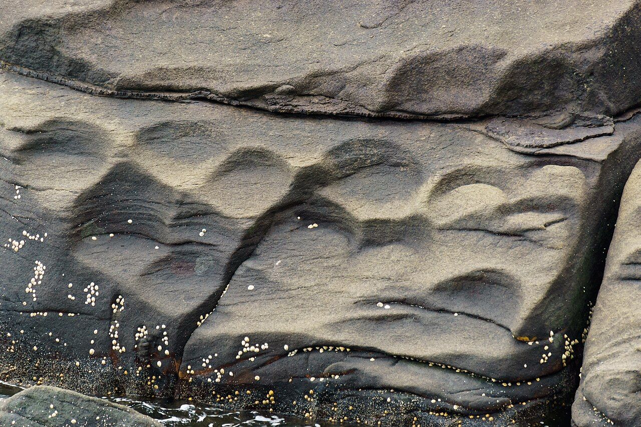
Dinosaur footprints have been found on the shore nearby. The remains of a hermit’s cell are said to lie on the point. I like the difference in certainty between those two details: one is stated plainly, while the other still belongs to what is said about the place.
Neither needs embellishment. They give the shore and headland another layer to hold in mind as you walk, without turning the visit into a hunt for something that the facts do not promise will be visible.
Uig, the bay and the ferries is worth a look as well.
What is the best way to think about the visit?
Think of it as a short headland walk, not a long circuit: road, descent, narrow neck, point. That sequence is simple, and I prefer it that way. The cliffs and the views towards Kilt Rock make the coast the focus, while the nearby footprints and the reported hermit’s cell add two separate threads.
At the end, the narrow neck draws the route back into a line.