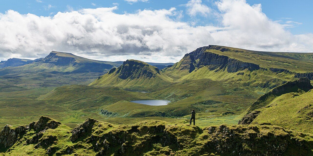
South over the Quiraing — photo: Colin
My dog-eared paper map has the ordinary stillness of paper, but the Quiraing refuses that neatness. It is a landslip on the eastern face of Meall na Suiramach, and the land is still slowly moving.
| Place | Quiraing |
|---|---|
| Path | About 6.8 kilometres, looping from the top of the road between Staffin and Uig |
| Road | Single-track, climbing over the ridge in hairpin bends |
That is the first thing to keep in mind here: this is not simply a shape left behind, with the work of its making safely in the past. The ground continues to shift, slowly, and the road below needs repairs each year.
The Quiraing sits at the northern end of the Trotternish ridge. A landslip, still moving, with a road below that needs repair each year.
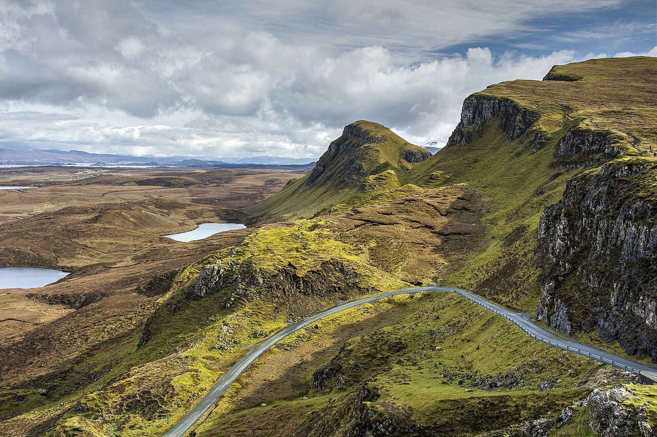
The road between Staffin and Uig and the ferry to the Outer Isles climbs over the ridge in hairpin bends. That ascent is part of the approach to the place, but the road is also a reminder that the land is not only scenery; it has consequences for the way through.
There is a path of about 6.8 kilometres, looping around the Quiraing from the top of that road. The loop gives the place a shape visitors can follow, while the land itself has its own slower movement, indifferent to the tidy line of a route.
Names help here, because the features are not interchangeable. The Needle is a rock spire; the Prison is a rocky mass; the Table is a flat grassy area. Each name sets a different expectation, and each points to a distinct form within the landslip.
I like the plainness of those names. They do not ask for a grand explanation before you look: a spire, a mass, a level stretch of grass. The map in my pocket may be dog-eared, but these words keep their useful edges.
The Fairy Glen, above Uig is worth a look as well.
The Table is especially good at resisting the idea that every part of a landslip must look like broken rock. It is a flat grassy area, and that description is enough to make it different from the Needle and the Prison without dressing it up.
Nor does the Prison need a story added to its name. It is a rocky mass, and the name gives it a character before the facts have had their say. I prefer to leave that small tension in place, rather than pretending the names explain more than they do.
The Needle, by contrast, is a rock spire: a name and a form that meet neatly. These three features give the Quiraing more than one way to be read, from a single upright shape to a mass and then a level grassy area.
The whole arrangement asks for two kinds of attention: the named shapes that can be picked out, and the slower fact that the slope itself has not settled. I find the second harder to forget.
There is history here as well as geology. Cattle were once hidden from raiders in the Quiraing, a fact that changes the weight of the place without requiring any invented scene to make it vivid.
It is enough to know that the land offered concealment, and that people used it for that purpose. Against the ongoing movement of the ground, the human history is another measure of time: different in kind, but held in the same place.
The road, the path and the named features give visitors a practical way to understand the Quiraing, but they do not settle it into a finished picture. The land still moves; the road below still needs repairs each year.
That is why I would not reduce the place to the loop alone, useful as the path is. The road climbs over the ridge in hairpin bends, the path circles from its top, and the landslip carries on changing slowly beneath both descriptions.
On my dog-eared paper map, a route can be traced as a line. The Quiraing leaves the line where it is and keeps moving.