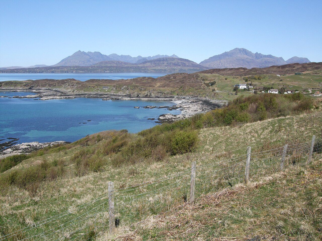
Tarskavaig bay — photo: David Hutchison
The road takes the west of Sleat in a loop, passing through Tarskavaig, Tokavaig and Ord, with the Cuillin appearing across Loch Eishort. It is narrow and steep, and that is enough to set its pace: the place asks to be read in sections, not swallowed as a line on a map. A loop has a different feeling from a road that simply runs towards a destination; its places stay connected, and each name belongs to the shape as a whole.
| Road | Single-track loop across the west of Sleat |
|---|---|
| Places on the loop | Tarskavaig, Tokavaig and Ord |
| Views | Across Loch Eishort to the Cuillin; from Ord beach, to the Cuillin |
The loop is plain enough on paper; on the ground, its narrowness and steepness give every stretch a little more weight. I like that difference: the map offers a clean line, while the road itself has a character that resists being reduced to one.
There is a useful difference between seeing a place named and passing through it. Tarskavaig, Tokavaig and Ord are not simply labels to tick off; they give this road its shape, one place after another across the western side of Sleat. The names make the loop easy to hold in the mind, but they do not flatten it into a list; each one marks a part of the route, not the whole experience.
And then there is the view across Loch Eishort to the Cuillin. It is not a background pasted behind the road, but part of what the road keeps opening towards; the water and the hills make the distance legible. That view belongs with the movement between the places, rather than apart from it, and gives the loop a sense of breadth beyond its narrow track.
The dog-eared map helps me hold that shape in mind, though the names do more work than the line. Tarskavaig, Tokavaig and Ord belong to the same loop, but the road’s character comes from moving between them, with the land turning the simple route into a sequence.
At Tokavaig, Dunscaith Castle stands as a ruin on a rock, and legend links it with the warrior queen Scáthach. The Irish hero Cú Chulainn is said to have trained there under her; the story gives the rock a presence beyond its outline. I find the connection compelling because it ties the legend to a particular point on the road, rather than leaving it as a story without a place.
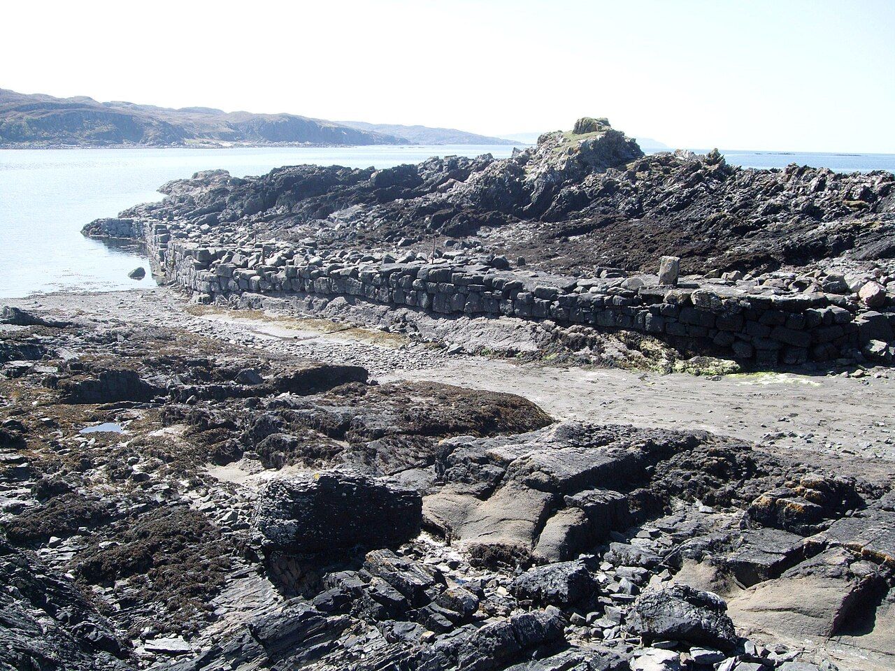
I like that the legend stays attached to a precise place rather than floating free of the landscape. The castle is a ruin, the rock is there, and the names Scáthach and Cú Chulainn bring another kind of depth to this part of the loop. There is a pleasing tension in seeing the simple fact of the ruin beside the scale of the tale attached to it.
Its narrow, steep stretches are the essential fact, and the views across Loch Eishort to the Cuillin are the answer the landscape gives back. That balance is what stays with me: the road’s physical character, set against the view it carries through.
At Ord, the beach has its own view of the Cuillin. That is a distinct ending in the mind, even though the road loops rather than drawing a straight line towards a finish; the beach lets the hills return in a different frame. I like the change in emphasis: the same hills are still in view, but now the beach gives the last part of the route its own shape.
Tarskavaig, Tokavaig and Ord make a circuit across the west of Sleat; the road gives each its turn.
For all its steepness, the loop is not difficult to understand. Follow its shape through the named places, and the rest is a matter of letting the view across Loch Eishort, the rock at Tokavaig and the beach at Ord take their proper space.
There is another strand of island looking in Sea eagles of the Sound, but this road holds my attention close to the ground, between place names and the changing view of the Cuillin.
A castle across the water is worth a look as well.
At Ord, the beach and the Cuillin make a final picture worth keeping. I fold the dog-eared map back around the loop in my mind: Tarskavaig, Tokavaig, Ord, and the road between.