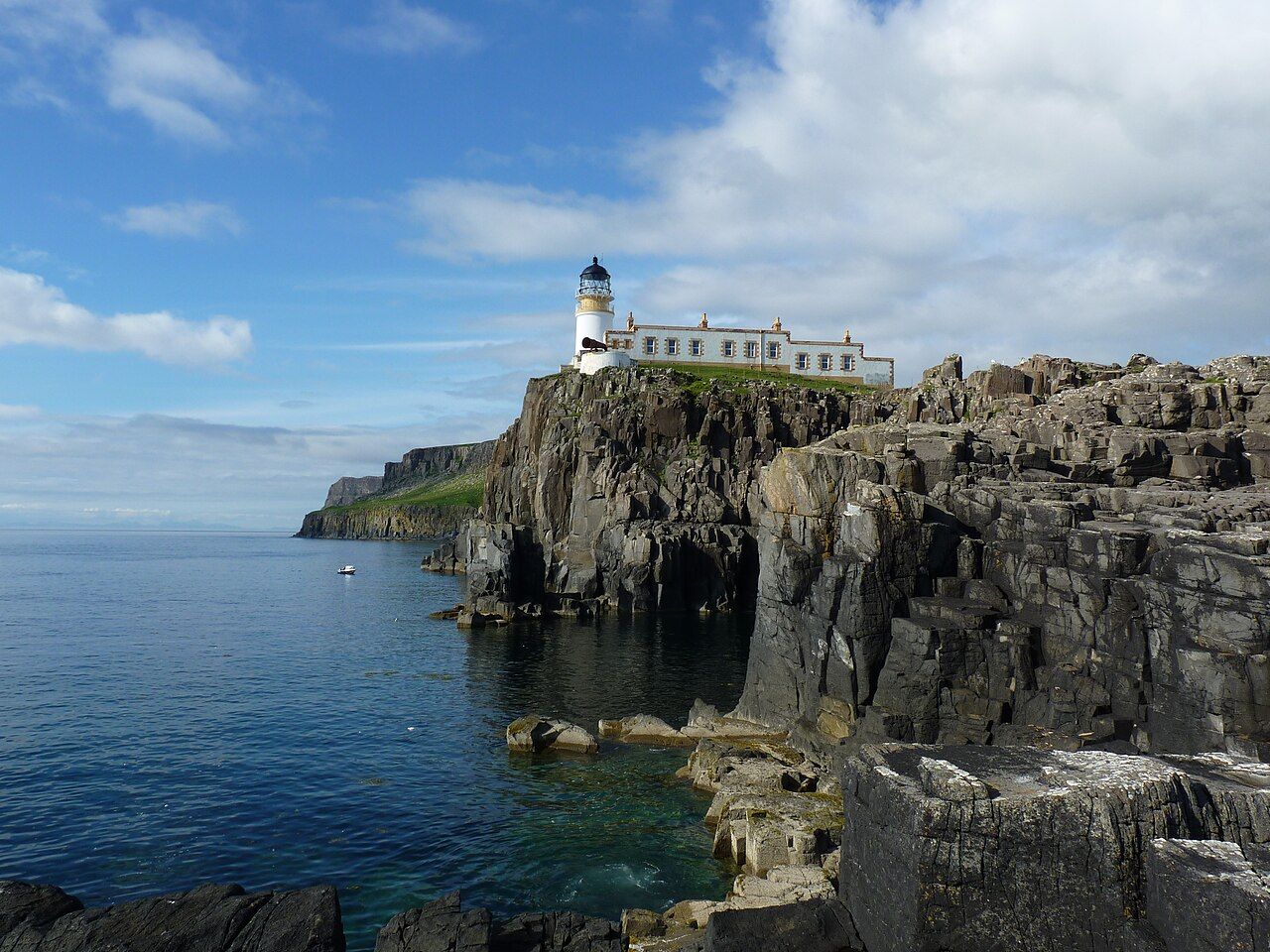
Neist Point lighthouse — photo: Lionel Ulmer
The land reaches its western end at Neist Point, where the cliffs are very high and the lighthouse sits along the headland below.
| Place | Neist Point |
|---|---|
| On the ground | A steep concrete path with steps leads down and along the headland to the lighthouse. |
| Across the Minch | The Outer Hebrides can be seen. |
What is Neist Point?
It is the most westerly point of Skye, and the lighthouse gives the headland a clear centre of attention. Round here, the land does not need much dressing up; the western edge, the high cliffs and the long path are enough to set the scale.
How do you get to the lighthouse?
A steep concrete path with steps leads down and along the headland to it. That is the essential thing to know before setting out: this is not a level stroll, and the route is part of the experience rather than a brief link between two views.
What is the lighthouse like?
It was built in 1909 and is now automatic. Its place on the headland matters as much as the building itself; from the cliffs, the point opens out towards the Minch, with the Outer Hebrides visible across it.
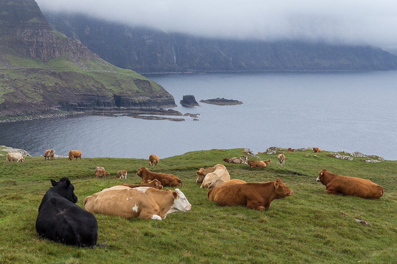
What might be seen from the cliffs?
Basking sharks, minke whales and dolphins are sometimes seen from here. Sometimes is the useful word: the possibility belongs to the place, not to any promise about what will appear on a particular visit.
Are the cliffs high?
Very high. That is not a detail to skim over while concentrating on the lighthouse or the view across the water. The cliffs give Neist Point its strong edge, and they are part of what makes the headland feel so exposed to the wider landscape.
Seals on Loch Dunvegan is worth a look as well.
Is the walk worth taking?
For me, the point is not a checklist of things to see. It is the relationship between the path, the lighthouse and the immense reach of the cliffs; the dog-eared map can mark the destination, but not that feeling of space.
What should stay in mind?
The route leads down and along the headland, the lighthouse is automatic, and the Outer Hebrides can be seen across the Minch. The rest is a matter of looking carefully, without expecting wildlife on cue. I would take the paper map out again at the end, when the point on its page has become a place in the mind.