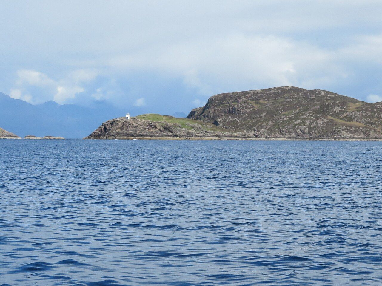
The Point of Sleat — photo: M J Richardson
There is a particular satisfaction in a walk with such a plain beginning and end. The road stops at Aird of Sleat; from there, a track and path lead to the point. Nothing needs dressing up.
| Place | Sleat |
|---|---|
| Start | End of the road at Aird of Sleat |
| Walk | About 8 kilometres there and back |
| At the point | A small lighthouse |
That simple outline is enough to make the walk feel distinct. The point is not merely a place to turn round; it is the southernmost tip of Skye, and the map’s line ends at the edge of the island.
Round here, the words “there and back” matter. They set out the shape of the outing without pretending to say how long it takes, or what any particular day will feel like.
About 8 kilometres is the whole walk, rather than a distance that leaves the return as an afterthought. I like that kind of measure: the destination and the way back belong together.
The route begins where the road ends at Aird of Sleat. A track and path carry the walk onwards, and that change of footing is part of the point of going, not a complication to explain away.
It is a good walk to think with. The map gives a line; the land gives the actual destination, a southern tip with a small lighthouse standing on it.
“Small” is enough, and its place on the point gives the walk a visible focus without asking it to become anything grander.
I find myself returning to the dog-eared map at this stage, not for more information, but because its neat line and the place itself seem to answer one another.
Near the point, a sheltered inlet has a sandy cove. It offers a different scale from the long outline of the walk: a cove within an inlet, close to the end of the route.
That detail gives the destination more than one face. There is the point itself, with its lighthouse, and there is the sheltered water and sand nearby.
The views reach the small isles of Eigg and Rum.
What matters is the reach of it: from the southern tip of Skye, the view extends to those small isles. That is a clear reward for following the track and path to their end.
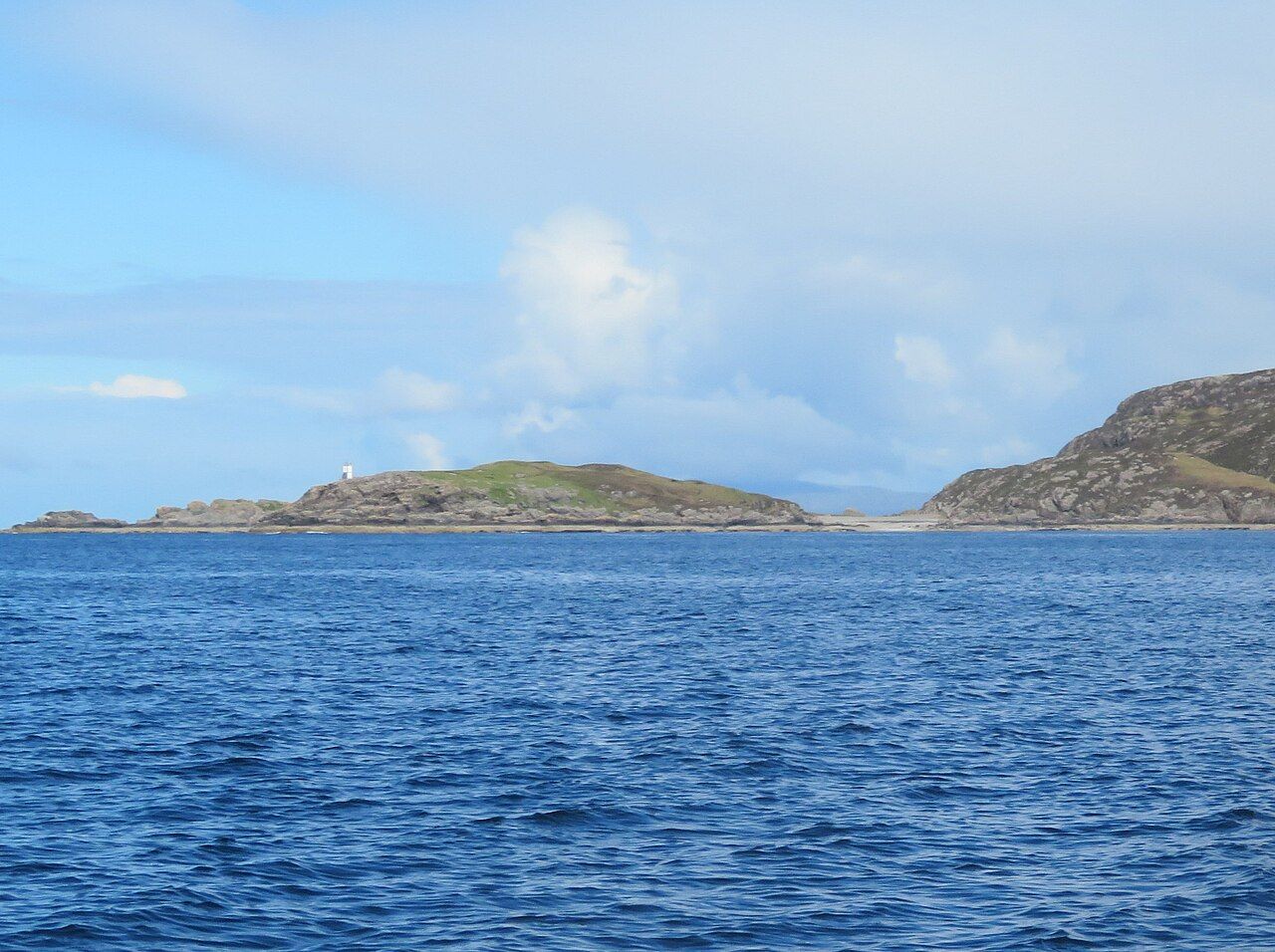
Some places announce themselves with a long account of what can be done there. This one needs less. The walk, its endpoint, the lighthouse, the cove and the distant isles make a complete enough picture.
For me, the appeal lies in how precisely the pieces fit. Aird of Sleat is where the road ends; the path leads to the island’s southernmost point; the return completes the walk.
That does not mean every part of the experience can be fixed in advance. The facts of the route are steady and useful, while the particular feel of a walk belongs to the day it is taken.
I would rather leave room for that than make claims about a perfect moment. The place can be described plainly: a southern point, a small lighthouse, a sheltered inlet and a sandy cove.
Then there are the views towards Eigg and Rum, which give the destination a wider horizon. The point is both an end to the walk and a place from which the eye can travel onwards.
That balance is what stays with me. The walk has a definite measure, about 8 kilometres there and back, but the place itself is not reduced to a number.
A paper map makes the route look tidy, even when the meaning of a place is harder to pin down. The dog-eared one I keep helps me remember the shape, not settle every thought.
The Point of Sleat is a useful reminder that a destination need not be complicated to hold attention. Here, the details are modest and exact, and they are enough.
There is the road’s end at Aird of Sleat, then the track and path, then the point at the southern edge of Skye. Nearby, the inlet shelters its sandy cove.
The lighthouse stands there, small against the idea of an island’s furthest southern tip. Beyond it, the views reach Eigg and Rum, small isles with names that make the map feel close at hand.
For anyone drawn to the end of a line on a map, this is a satisfying one to follow. It leads somewhere definite, and the return is already part of the story.
It holds the point in its proper position, while leaving the walk itself to be made on foot.
A castle across the water is worth a look as well.