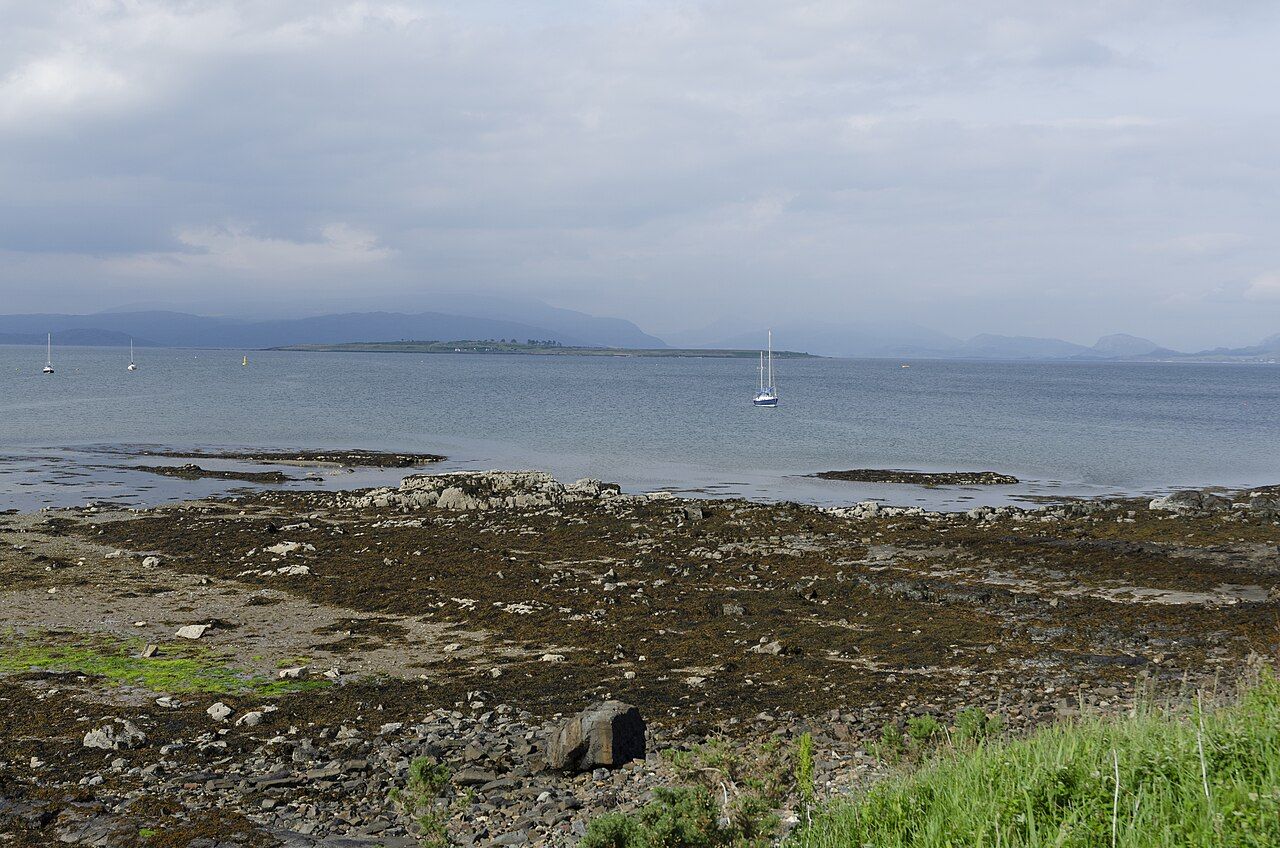
Broadford Bay — photo: Lithobius
| Settlement | Second-largest on Skye |
|---|---|
| Bay | Broadford Bay, looking towards Scalpay |
| Roads lead to | Elgol and the Sleat peninsula |
Broadford has the island’s hospital and a large supermarket, so it is more than a name beside the water. The bay and the settlement belong together in the view, with Scalpay across the water.
The bridge and the old ferry is worth a look as well.
Beinn na Caillich, one of the Red Cuillin, rises behind Broadford. That contrast holds the place together for me: open water in front, a mountain behind, and the settlement between them.
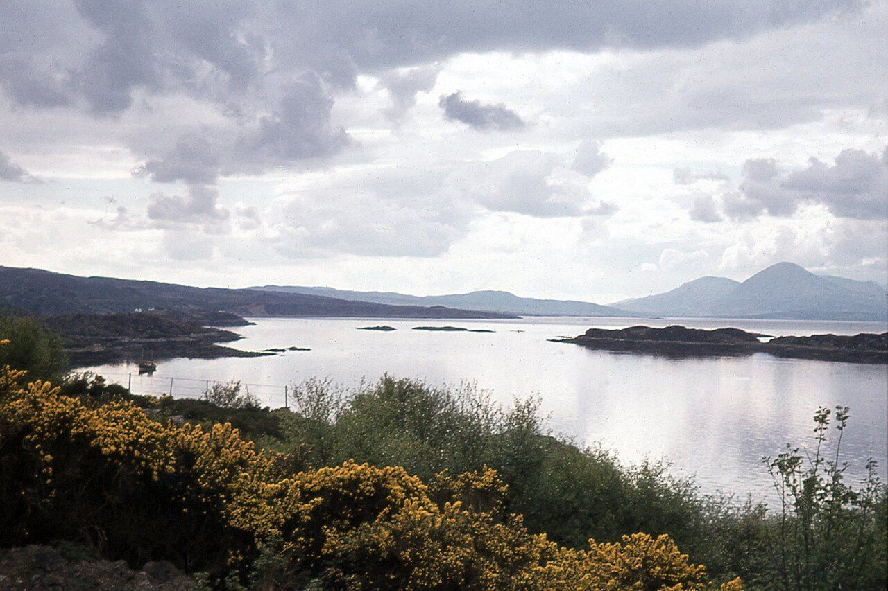
A cairn on Beinn na Caillich’s summit is said to be the grave of a Norse princess; the careful wording matters, and the story stays with the mountain.
The roads lead from Broadford to Elgol and the Sleat peninsula, giving the settlement a clear place in the shape of the island. Its hospital and large supermarket mark it as a lived-in settlement as firmly as the bay marks its position on the coast.
That pair of roads gives Broadford a particular position in my paper map: not simply a settlement on the coast, but a point from which routes lead towards Elgol and the Sleat peninsula.
The bay, Scalpay and Beinn na Caillich make the same point in a quieter way, setting water and mountain around the second-largest settlement on Skye.