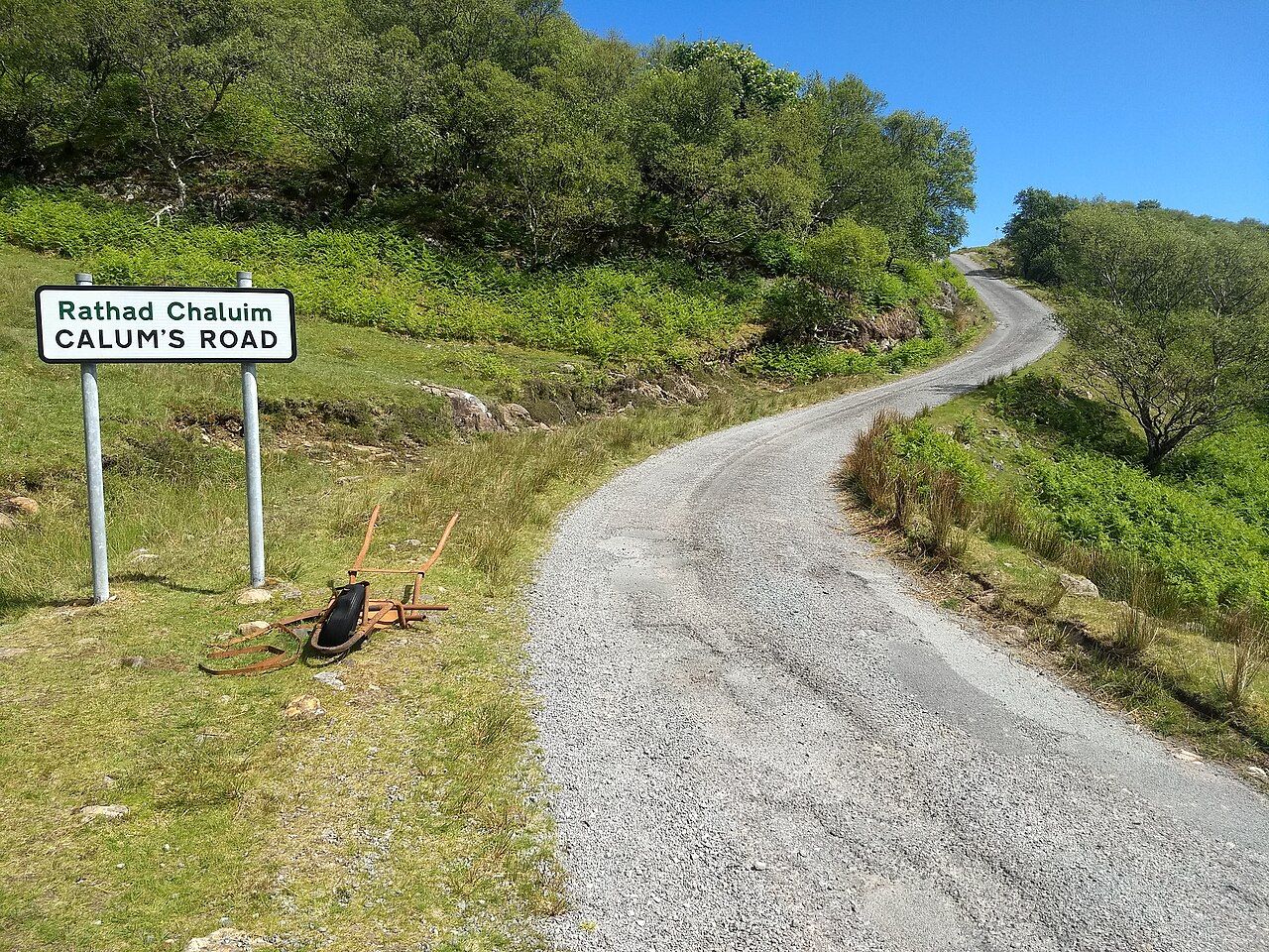
The start of Calum's Road — photo: David Medcalf
At the north end of Raasay, Calum’s Road is a simple fact with a long piece of work inside it. Malcolm MacLeod, known as Calum, built it by hand to link his township of Arnish to the rest of the island, after the council refused.
| Place | North end of Raasay |
|---|---|
| Built by | Malcolm MacLeod, known as Calum |
| Built | Between about 1964 and 1974 |
| Purpose | To link Arnish to the rest of the island |
This road was made by one man, and that is the fact that gives the place its particular weight.
The council had refused, but the need for a link remained. Calum answered with a wheelbarrow, a pick and shovel, and a manual for road-building. There is no grand machinery in that list, only things that ask for effort from the person using them, and a book to show how the work might be done.
The account gives a clear beginning, a clear purpose and a refusal at its centre, without needing a larger claim about what the road means to the island. Its interest lies in the contrast between the modest list of tools and the scale of the task: making a link by hand, across years, after the council refused.
It is tempting to rush past the tools towards the finished road, as if the road were the whole story and the building merely a preface. I think the reverse is true: the tools make the distance between wanting a link and having one plain, without needing any ornament put around it.
There is something exact about building a road by hand. It means taking the work that a connection requires and doing it, rather than waiting for the decision to arrive from somewhere else. That is not a small distinction round here; it is the difference between a line on a map and a line made real.
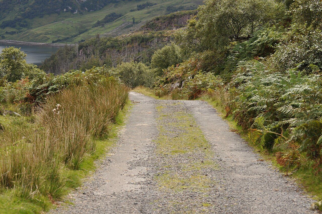
We read a route as though it had simply appeared, and forget that someone had to make the connection possible, one task after another.
Calum’s Road was built between about 1964 and 1974. Those dates hold a span of years, but the facts do not need dressing up: one man worked by hand, with a wheelbarrow, pick and shovel, and a manual for road-building. The scale of the undertaking is there in the plainness of the record.
Later, the council surfaced the road. That belongs to the story too, though it does not change who built it or why. A surface can finish one part of the work; it cannot take the place of the decision, skill and labour that began the road in the first place.
A book and a song tell Calum’s story. It makes sense that this road should travel beyond the island in those forms, because its meaning is not only about the route itself, but about the person who set out to make it when the council refused.
Portree, Skye’s Harbour Town is worth a look as well.
For visitors, the useful thing to carry to the north end of Raasay is not a grand idea about roads, but the plain account of this one. It was built by Malcolm MacLeod, known as Calum, to link Arnish with the rest of the island; the council later surfaced it.
Calum’s Road makes a map’s line feel less like a given and more like a promise someone had to keep, with the tools he had and the work in front of him.
That is enough to make this road stay with me: not a tale enlarged beyond its facts, but a road at Raasay’s north end, built by one man after the council refused. The finished line remains, and so does the effort it took to make it.